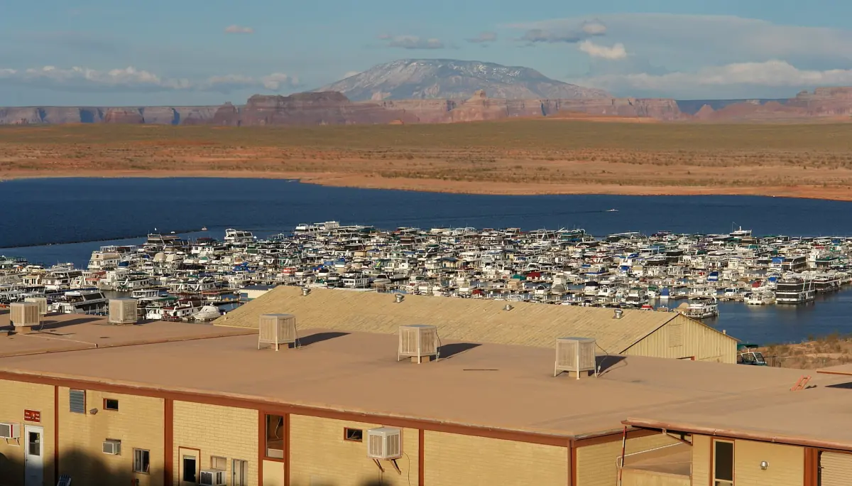
Page, Arizona at a glance
Page is a small town on the edge of Lake Powell, right next to Glen Canyon Dam. The big sights lie in different directions. Horseshoe Bend is south of town, Wahweap and the lake are north, Antelope Point is east, and Lees Ferry is a longer drive to the west and south. Plan by direction, not by distance in your head.
Most visitors build a stay around Antelope Canyon tours, one lake activity and a stop at the overlook. The facts below help you place those pieces.
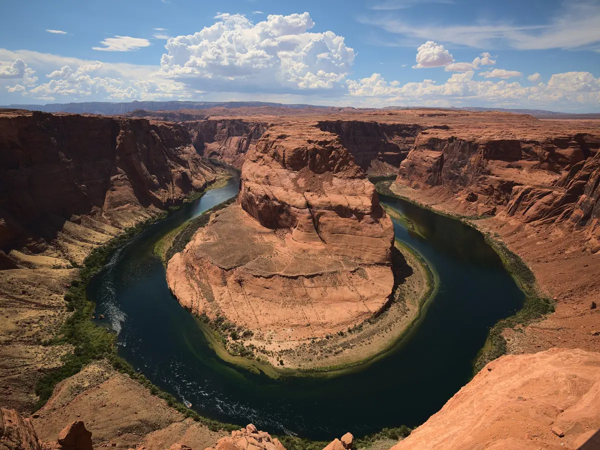
Things to do in Page AZ
The main sights, in the order most visitors tackle them.
Horseshoe Bend overlook
A walk of about 1.5 miles round trip (2.4 km) on a paved path leads to the rim above the river loop. City parking costs $10 per car in 2026. The path has two shade shelters and no shade at the viewpoint, and there is no drinking water. Overlook guide →
Antelope Canyon
Upper, Lower and Canyon X are visited with a Navajo guide only. The park permit is $15 per person and the guide fee is extra. Canyon tours →
Lake Powell
Boat tours, kayaking and swimming spots such as Wahweap and Lone Rock. There are no lifeguards, and low water has closed many ramps. Lake Powell guide →
Glen Canyon Dam
The Carl Hayden Visitor Center stands at the dam on US 89. Guided tours inside the dam are suspended, but the center and the views are open on their seasonal hours. Dam guide →
Wahweap Overlook
About 3 miles north of the dam off US 89, with parking, a shade shelter and a wide view of the lake. There is no railing at the viewpoint, and dogs must be on a leash of no more than 6 ft (1.8 m).
Kayak from Lees Ferry
Paddle back toward the river bend with a backhaul from Lees Ferry. Kayak guide →
Our pick: kayak rental on Lake Powell
A simple way to get on the lake from Page without joining a group.
Hand-picked tours, booked through GetYourGuide. Prices are indicative starting prices in US dollars (as of October 2026). Tap a tour for live availability and the current price in your currency.
Tours and activities in Page
Canyon walks, overlook trips, boat tours and kayaking around Page, with live prices and availability.
How long the main sights take
Examples from 2026. Prices and lengths vary by operator.
| Sight | Direction from Page | Time | Cost (2026) |
|---|---|---|---|
| Horseshoe Bend | South | About 20 minutes each way on foot | $10 parking per car |
| Upper Antelope Canyon | East | About 90 minutes with transfer | $100 including permit (one operator) |
| Lower Antelope Canyon | East | 60 to 90 minutes on foot | From $80.50 |
| Lake boat trip from the east marina | East | 1 hour | From $50 adult |
| Glen Canyon Dam visitor center | At the dam | Short stop | See the dam page |
For most two-day stays, combine the overlook, one canyon walk and one lake activity, and leave the other day for Lees Ferry or a further trip. The overlook opens at sunrise, so do not count on being at the rim before then.
Visitor centers and the museum
The Powell Museum building at 6 North Lake Powell Boulevard has closed and is being sold, so do not plan a visit there. For information in town, the Glen Canyon Visitor Center at 12 N Lake Powell Blvd is open Monday to Saturday from 9 a.m. to 5 p.m. (Arizona time) and closed on Sunday. The Carl Hayden Visitor Center at the dam keeps seasonal hours: 9 a.m. to 5 p.m. from March to the end of October and 9 a.m. to 4 p.m. from November to the end of February.
Plan your meals before you set out. The overlook path has no drinking water, and the viewpoint has no shade.
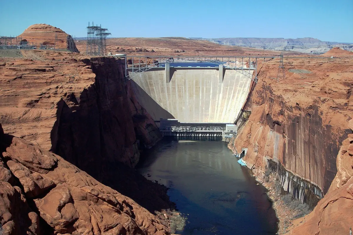
Heat, edges and flash floods
Summer is very hot with little shade, and winter nights can freeze. Spring brings wind. Summer and fall storms can cause flash floods even in a dry climate, so slot canyons close when weather requires it. Carry plenty of water, avoid the hottest hours and keep children and leashed pets close at the overlook, where large stretches of the rim have no railing.
Drones may not take off, land or fly from land or water within Glen Canyon and Rainbow Bridge without a written exception from the park. Read the weather guide for seasons.
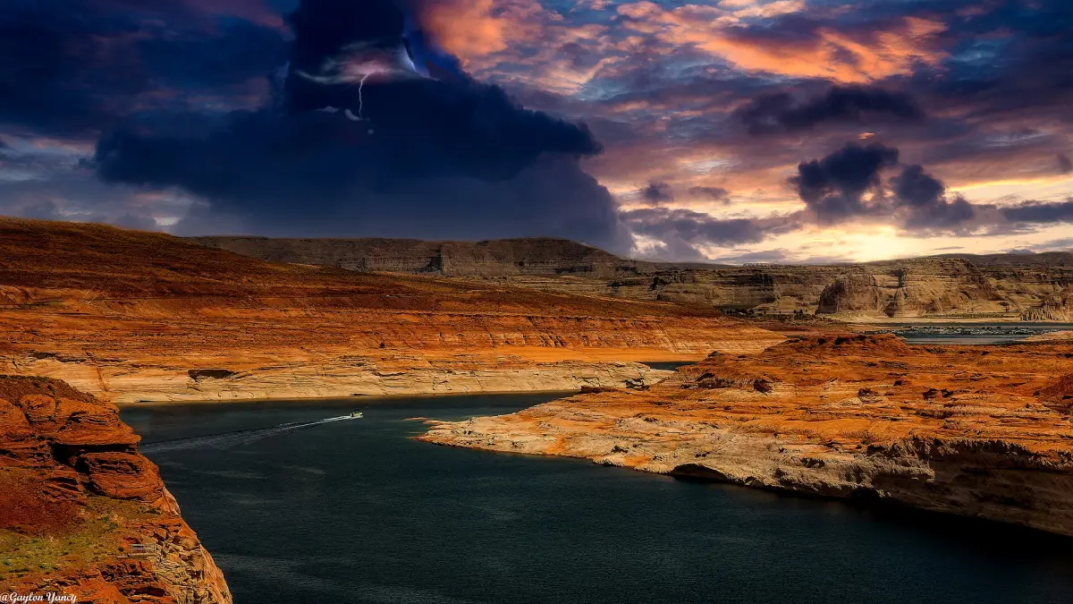
Plan the rest of your trip
Where to sleep, how to arrive and what lies beyond Page.
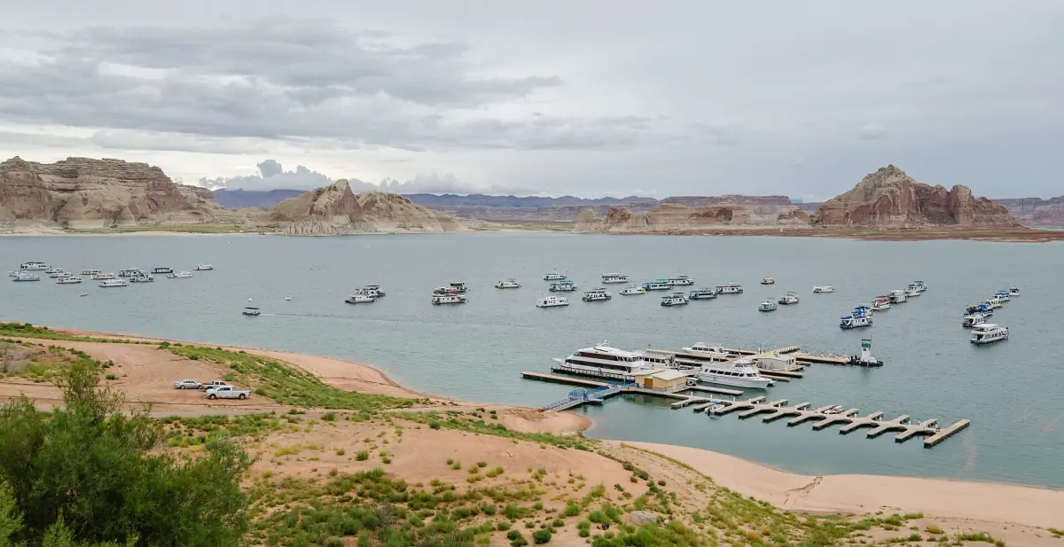
Where to stay in Page
Town, highway corridor, Wahweap or Marble Canyon.
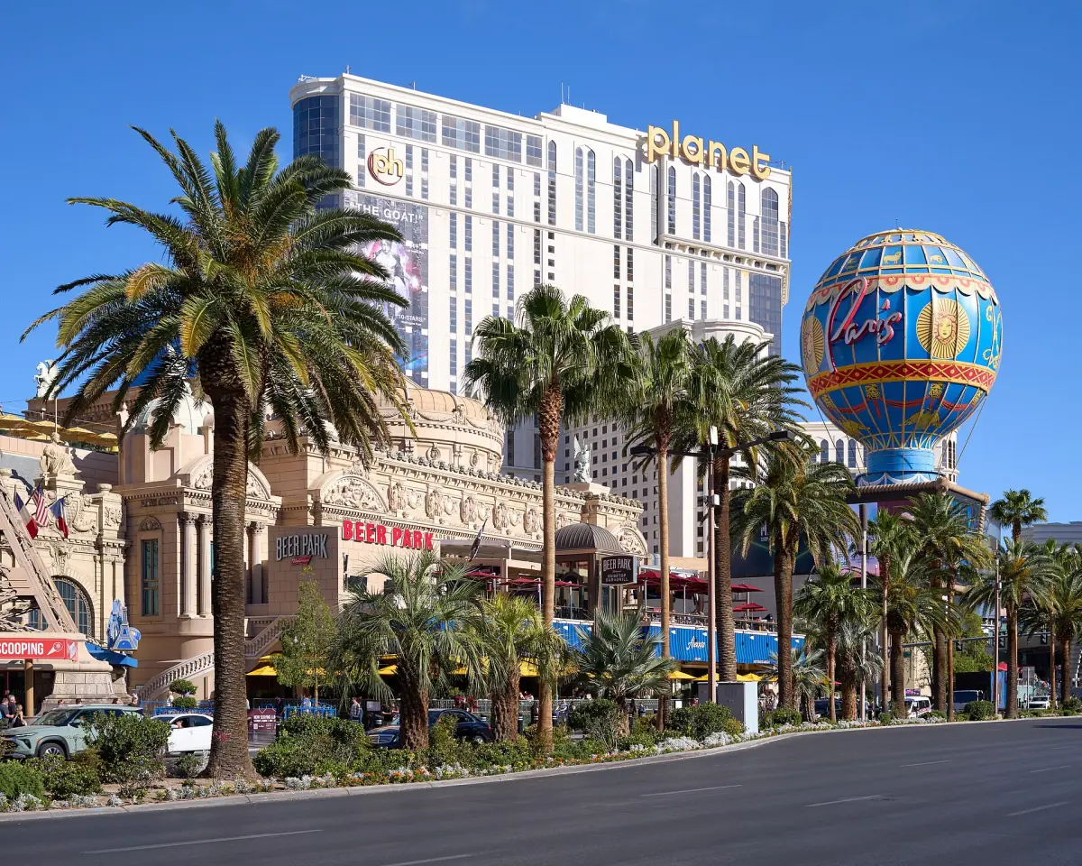
Getting to Page
Drive, flights and transfers.
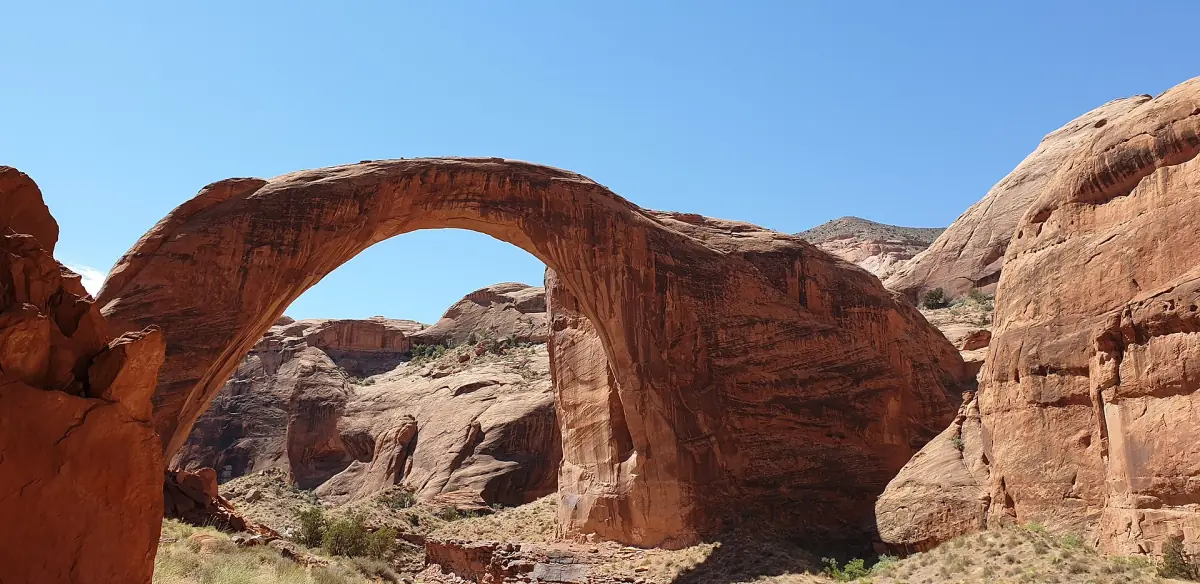
Rainbow Bridge
Access limits and hiking.
Beyond town, the permit-only landscapes of Vermilion Cliffs lie to the west, and the Grand Canyon South Rim is 130 miles away. Our Page Arizona guide adds more ideas.
Page AZ: frequently asked questions
What is Page, Arizona best known for?
Page is the base for Horseshoe Bend, Antelope Canyon and Lake Powell, and it sits next to Glen Canyon Dam.
How many days do I need in Page?
Two days cover the overlook, one canyon tour and a lake activity. A third day adds Lees Ferry or a drive to the Vermilion Cliffs.
Is there a museum in Page?
The Powell Museum building has closed and is up for sale, so do not plan around it. The Glen Canyon Visitor Center in town is open Monday to Saturday.
What time zone is Page in?
Page uses Arizona time all year (UTC-7). The Navajo Nation changes its clocks for daylight saving time, and some Antelope Canyon operators still use Phoenix time. Follow the time on your booking.
Can I fly to Page?
Page Municipal Airport has scheduled flights to Phoenix and Las Vegas. Flight days and fares vary, so check current schedules.
Is this an official Page tourism site?
No. This is an independent travel guide. It is not the official website of the City of Page, the National Park Service or the Navajo Nation.