
The overlook in short
The Horseshoe Bend overlook is reached from a parking lot off US Highway 89, between mile markers 544 and 545. The turnoff is about 8 km (5 mi) south of the Carl Hayden Visitor Center. From the lot, a paved trail leads to the rim and a railed platform above the Colorado River.
You walk it on your own. If you want a guide, a canyon visit or a lake day on top of the view, look at our pages on Antelope Canyon tours and the tours from Page and Las Vegas. The overlook itself is a public viewpoint with a separate parking fee, not a ticketed attraction.
Horseshoe Bend hike: what the trail is like
A short walk, but an open one.
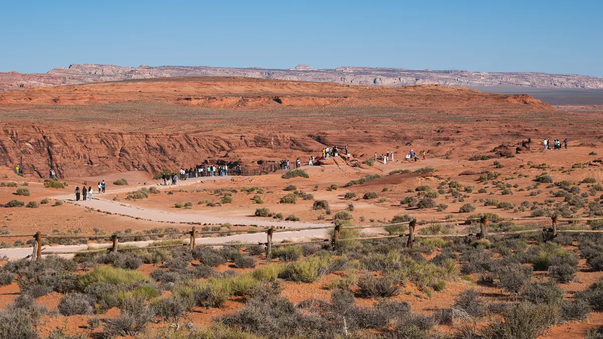
Length and surface
The trail is 1.5 mi (2.4 km) round trip. It has a paved or hard surface and meets the access standards of the Architectural Barriers Act. The climb is 137 ft (about 42 m), and the walk takes roughly 20 minutes in each direction. Your own pace will differ.
Shade and water
There are two shade shelters along the way and no shade built at the overlook. There is no drinking water on the trail, and restrooms are only at the parking lot. Bring water, and avoid the hottest part of the day.
Opening times
The overlook is open from sunrise to sunset, and the times can vary. Do not plan on reaching the rim before sunrise or after sunset. A sunrise visit means arriving when the lot opens.
Our pick: Secret Canyon with Horseshoe Bend
If you want the rim with a guide and a slot canyon in one trip, this one includes the Horseshoe Bend entry.
Hand-picked tours, booked through GetYourGuide. Prices are indicative starting prices in US dollars (as of October 2026). Tap a tour for live availability and the current price in your currency.
Horseshoe Bend tours from Page
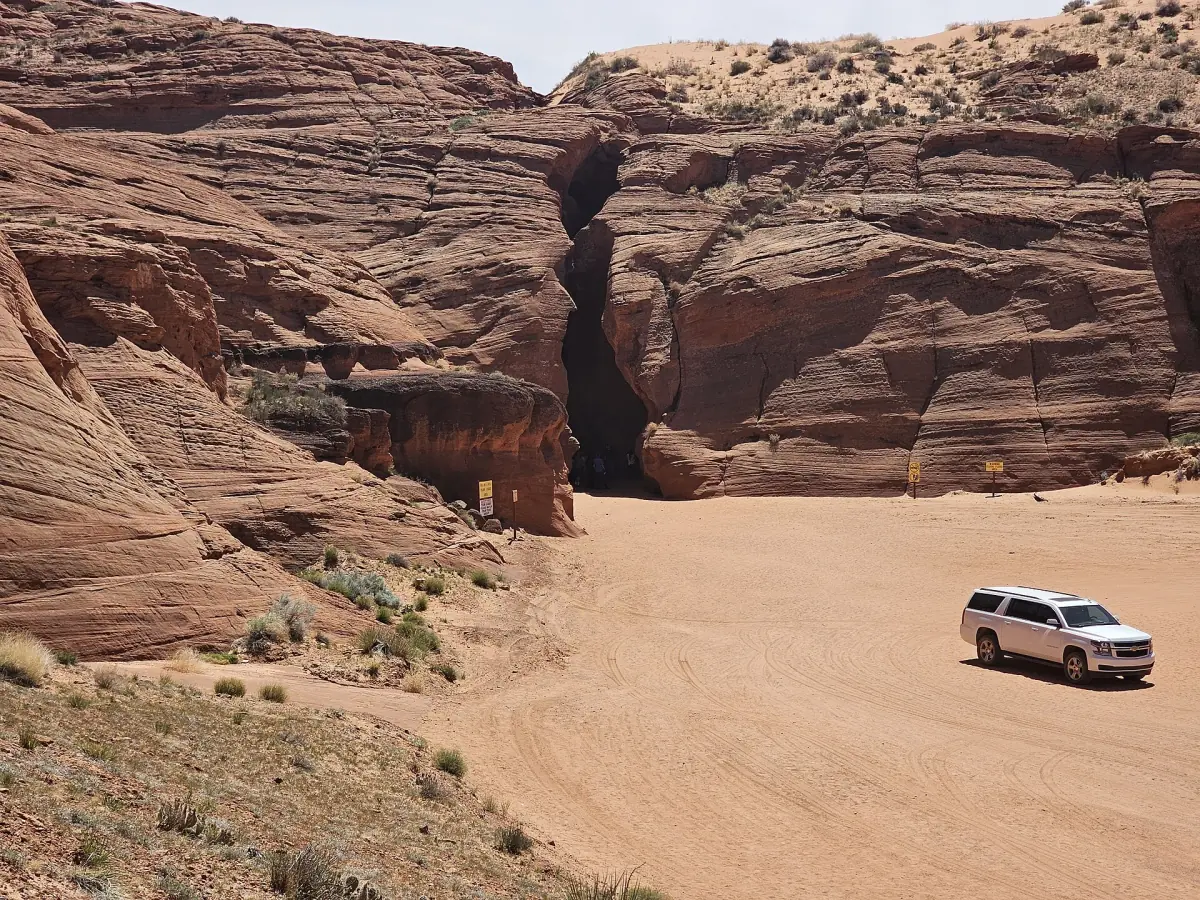
Guided Antelope Canyon tours that include a Horseshoe Bend stop, boat trips on Lake Powell and day trips from Las Vegas, with live prices and availability.
Horseshoe Bend parking and fees in 2026
The lot belongs to the City of Page, and the fee is a parking fee, not a national park entry. National park passes are not valid here. You can pay with cash or a physical card. Tap payment is no longer used, and at times only cash works, so carry some.
| Vehicle | Fee |
|---|---|
| Motorcycle | $5 |
| Car, truck or RV (private) | $10 per vehicle |
| Commercial vehicle, up to 14 seats | $35 |
| Commercial vehicle, 15 to 35 seats | $70 |
| Commercial vehicle, over 35 seats | $140 |
The commercial rates are per vehicle, so they are not a shuttle fare per person. There are no discounts or refunds, and no separate child or senior rate. Private RVs pay $10, but RVs and campervans over 22 ft may be charged $35, so ask at the gate if yours is large.
Rules and safety at the rim
Warnings that apply to every visit.
The edge
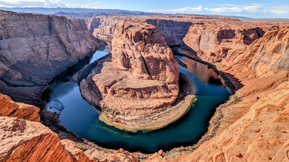
There is a railing at the platform, but large parts of the rim are not fenced. The canyon is about 1,000 ft (305 m) deep. Keep children and leashed pets close and stay back from the edge.
Heat
Summer is very hot with little shade. Carry plenty of water, wear sun protection and walk early or late. See the weather page for the seasons.
Highway rules
Do not park on the highway. Dropping off or picking up at the entrance or along the highway corridor is also not allowed, so use the lot.
Drones
Launching, landing or flying a drone is prohibited on National Park Service land and water within Glen Canyon National Recreation Area, unless the park gives a written exception.
Where Horseshoe Bend sits
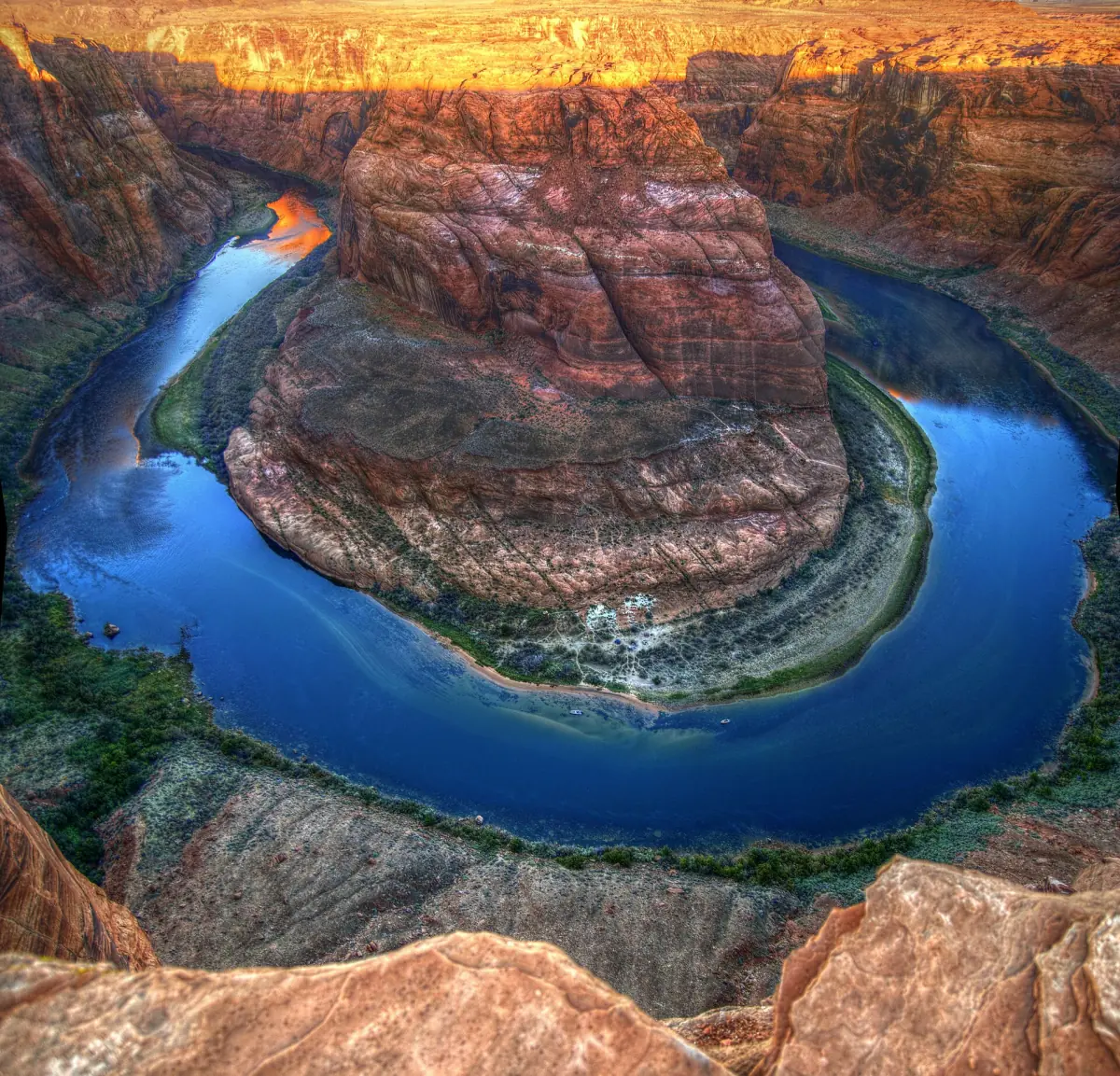
The bend is a cut of about 270 degrees around a rock, and the river runs roughly 1,000 ft (305 m) below the rim. It lies in Glen Canyon National Recreation Area, not in Grand Canyon National Park. The parking lot is within the City of Page, and Navajo Nation land borders the area. Do not assume one agency runs the whole surroundings.
For a wider view of the area, see the Horseshoe Bend page on Adventures Arizona. To see the bend from the water, read about kayaking from Lees Ferry. The overlook is not a launch point, and no route from the platform leads down to the river.
Before you go
A short checklist for the trip.
Bring
Water, sun protection, sturdy shoes, and cash or a physical card for the lot.
Time
Allow about 40 minutes for the walk there and back, plus time at the rim.
Combine
Pair the overlook with an Antelope Canyon visit or a day on Lake Powell. Most of these sit within a short drive of Page.
Horseshoe Bend overlook: frequently asked questions
Is there a fee to enter Horseshoe Bend?
There is no entry ticket for the trail, but you pay to park: $10 per private car and $5 per motorcycle in 2026. National park passes do not cover it.
How hard is the Horseshoe Bend hike?
It is a short, paved trail of 1.5 mi (2.4 km) round trip with a climb of about 137 ft (42 m). The hard part is the sun, because there is almost no shade and no water on the way.
Can I visit Horseshoe Bend at sunrise?
The overlook opens at sunrise, so you can arrive then. Access before sunrise is not offered, so do not plan on being at the rim earlier.
Can I fly a drone at Horseshoe Bend?
No. Drone launches, landings and flights are prohibited on National Park Service land and water in Glen Canyon National Recreation Area unless the park gives a written exception.
Where do I park for Horseshoe Bend?
Use the paid lot at the trailhead. Parking on US Highway 89 and dropping off at the highway are not allowed.
Is horseshoe-bend.org the official website?
No. This is an independent travel guide. It is not the website of the National Park Service, the City of Page or the Navajo Nation, and it is not connected to any tour operator or hotel.